Maps & Satellite Images
The following maps show areas in which genocides have occurred, or are claimed to have occurred. Some have specific information about the location of sites of violence.
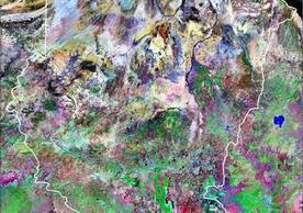
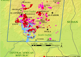
The Genocide Studies Program has used satellite imaging to show the effects of violent campaigns against civilians in Guatemala, Rwanda, and Sudan.
An Introduction to Remote Sensing & GIS
Remote sensing is the measurement of object properties on Earth’s surface using data acquired from aircraft and satellites. It attempts to measure something at a distance, rather than in situ, and, for this research’s purposes, displays those measurements over a two-dimensional spatial grid, i.e. images. Read more.
“Political history is made up of three parts. The first consists of the industrious study and collation of documents; the second is topographical and includes the survey of cities, places, rivers, harbours, and in general the special features of land and sea and the distances of one place from another; while the third is concerned with political activity”.
- Polybius, The Rise of the Roman Empire, Book XII, 25e.
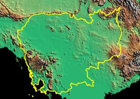 |
Digital Elevation Map of Cambodia 1990 |
|
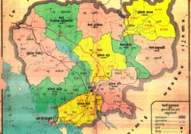 |
DK Provinces, Zones, Regions and Districts 1975 to 1977 |
|
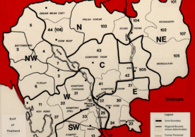 |
DK Zones (English) GIS & Remote Sensing 1977 to 1979 |
|
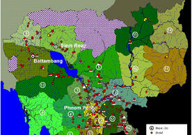 |
Provincial Killing Fields Maps: Genocide Sites GIS & Remote Sensing 1975 to 1979 |
|
 |
Provincial Killing Fields: Directory for Province Links GIS & Remote Sensing 1975 to 1979 |
|
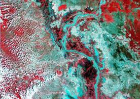 |
Satellite Images of Cambodia, 1973-1992 GIS & Remote Sensing 1973 to 1992 |
|
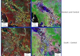 |
Satellite Maps with mass grave and prison sites from 1975-1979 GIS & Remote Sensing 1972 to 1990 |
 |
Australian Colonies, 19th Century 1800 to 1900 |
|
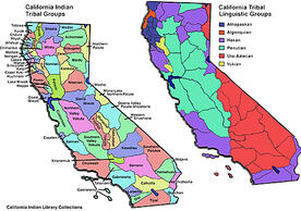 |
California Indian Tribal Groups 1846 to 1873 |
|
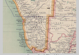 |
German Southwest Africa 1909 |
|
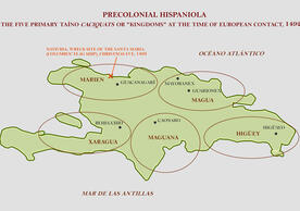 |
Hispaniola 1492 to 1514 |
|
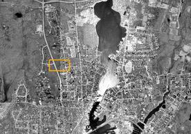 |
Mystic, Connecticut 1637 to 1638 |
|
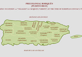 |
Puerto Rico 1509 to 1552 |
 |
Destruction in Dili 1999 |
|
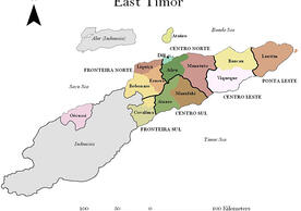 |
East Timor's Districts & Resistance Sectors, 1975-99 1975 to 1999 |
|
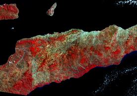 |
Satellite Images of East Timor, 1972-2000 1972 to 2000 |
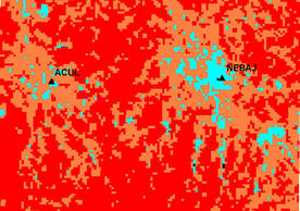 |
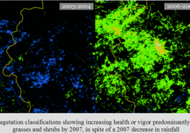
Change in Vegetation: Nebaj & Acul, 1979-2000 1979 to 2000 |
|
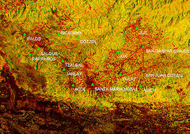 |
Deforestation of the Ixil Triangle 1979 to 1986 |
|
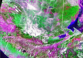 |
Satellite Images of Guatemala Before and After the 1981-83 Genocide 1981 to 1983 |
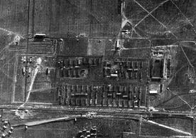 |
Auschwitz from the Air, 1944 1944 |
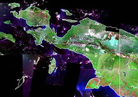 |
Satellite Mosaic of Papua, 1990 1990 |
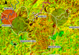 |
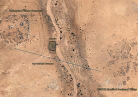
Indications of Genocide in the Bisesero Hills 1987 to 1995 |
|
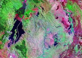 |
Satellite Maps of Rwanda Before and After the 1994 Genocide Resistance 1994 |

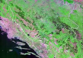 |
Bosnia Before & During the Genocide 1990 to 1994 |