Case Study:
Cambodian Genocide
Theme:
GIS & Remote Sensing
Date range of image:
1973 to 1992
 |
Stung Treng and Mekong River |
 |
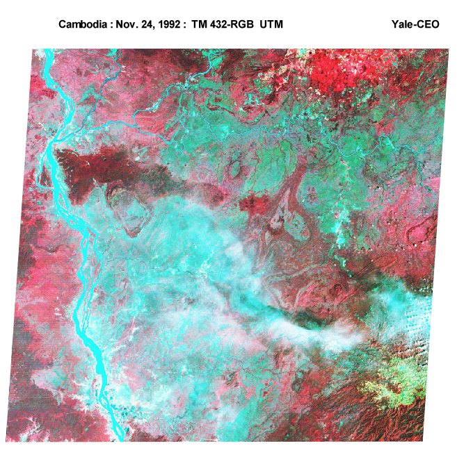
Northern end of Tonle Sap |
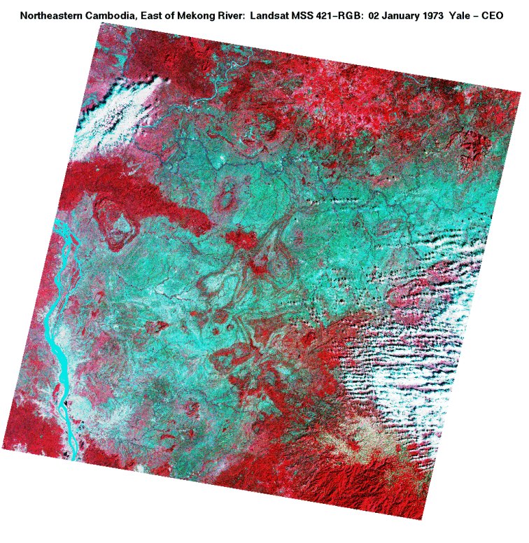 |
Northeast of Mekong River |
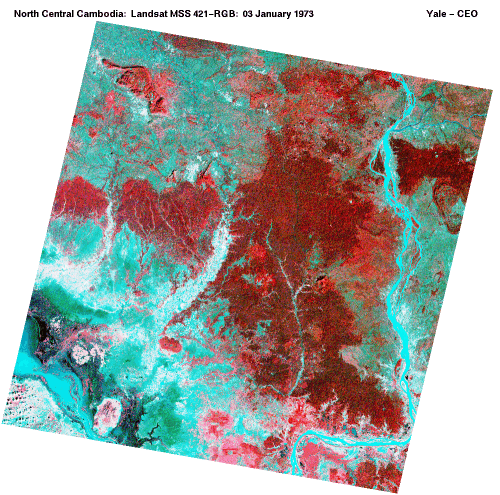 |
North Central Cambodia |
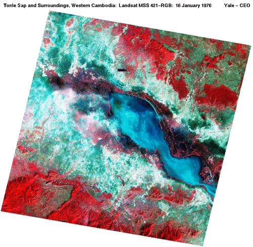 |
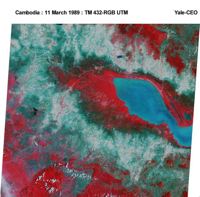
Tonle Sap & Surroundings |
 |
Southern Border between Cambodia and Thailand |
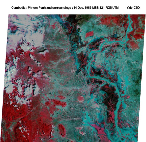 |
Phnom Penh and surroundings |
 |
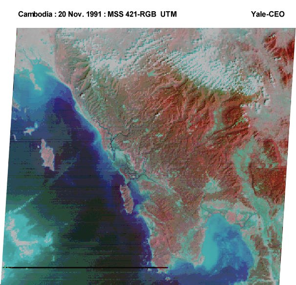
South West Coast of Cambodia |
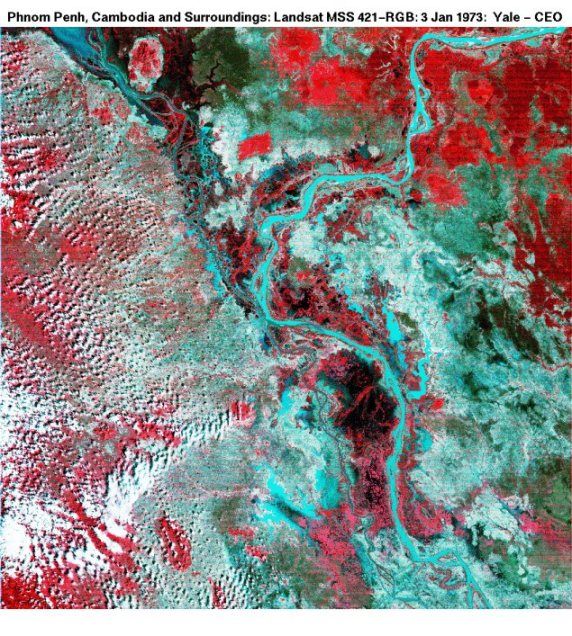 |
Phnom Penh & Surroundings |
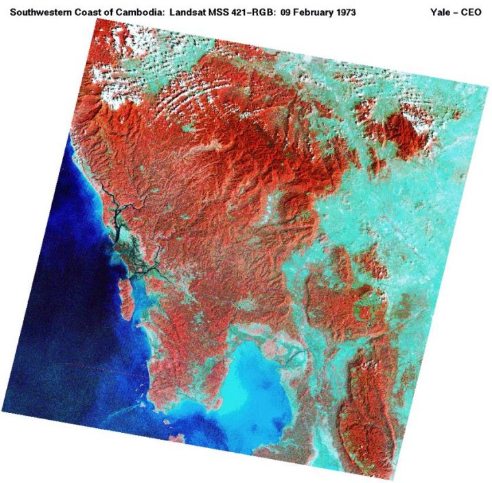 |
Southwestern Coast |